Geospatial activity analytics
Heatmaps
Flask and Leaflet.js web app for exploring Strava activities as interactive routes with map themes, geosearch, and activity details.
Background
Heatmaps makes Strava activity history explorable on an interactive map instead of a static list of workouts.
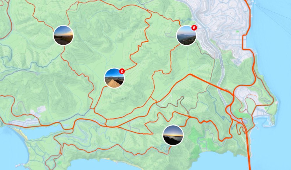
Heatmaps is a CS50 final project web app for exploring past Strava activities on an interactive map. A Flask backend serves the app, while HTML, CSS, and JavaScript power the frontend. The map view turns activity history into routes drawn as polylines, so users can click a route and inspect details like activity name, distance, and duration.
Leaflet.js handles the map, Stadia Maps and OpenStreetMap provide tile and search support, and the interface includes customizable themes such as outdoors, dark mode, and topographic. The app also supports geosearch and automatically zooms toward the athlete's home city based on Strava data.